I’m almost done with the last of the papers I (over)committed to. I am waiting for one reference and the encyclopedia entry on frozen sites will be done. I’ve got a few more references to add and a few more C14 dates to calibrate and the chapter on North Slope archaeology for a Point Hope bioarcheology volume will be ready to go off for review. I have a general NS archeology document that I wrote and update on a regular basis that I use when people ask for background. Because the available information about the published C14 dates from some of the earlier sites is not really sufficient to calibrate them (and the archaeologists haven’t published calibrated dates) I had been using BP (before present–present being 1950) dates in this, but decided that I needed to bite the bullet and get some calibrated dates. Some more recent work has resulted in calibrated dates being available, so I can at least give date ranges for the various cultures in cal years, which should be an improvement.
I started to work on the two NSF proposals that are up next. I am working on both a RAPID and a regular proposal for work on the Ipiutak component at Nuvuk. Unfortunately the NSF Fastlane web site wouldn’t let me see any of the PDFs that it converts things to. I’ll have to take this up with their tech support in the morning.
Category: Arctic
A trip to the Point
On Friday afternoon we headed to Point Barrow. I’d gotten KTUU set up with Aarigaa Tours, who picked them up in town at Top of the World Hotel, and then picked me up at my house at NARL on the way out to the point. I’d run home from work to change into my warm gear. A good thing, too, as will become clear later.
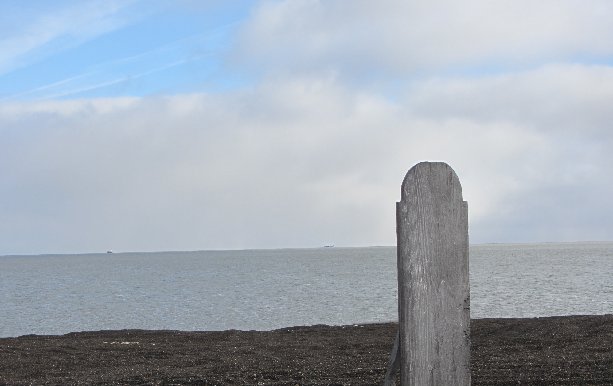
We’d been having a pretty strong blow from the NNW, and waves had actually been coming up onto the road. The road to the point had actually been closed right by Piġniq (Birnirk), because the waves had been breaking over the road and had done some significant damage. We were in a van equipped for off-road travel, so we were OK, but we had to detour through the cabin area. Once past there, the road was still in pretty good shape, but we could see water seeping in under the gravel berm. Once we got out a bit farther we could see a number of vessels & barges that had come into Elson Lagoon to anchor up and wait out the rough weather.

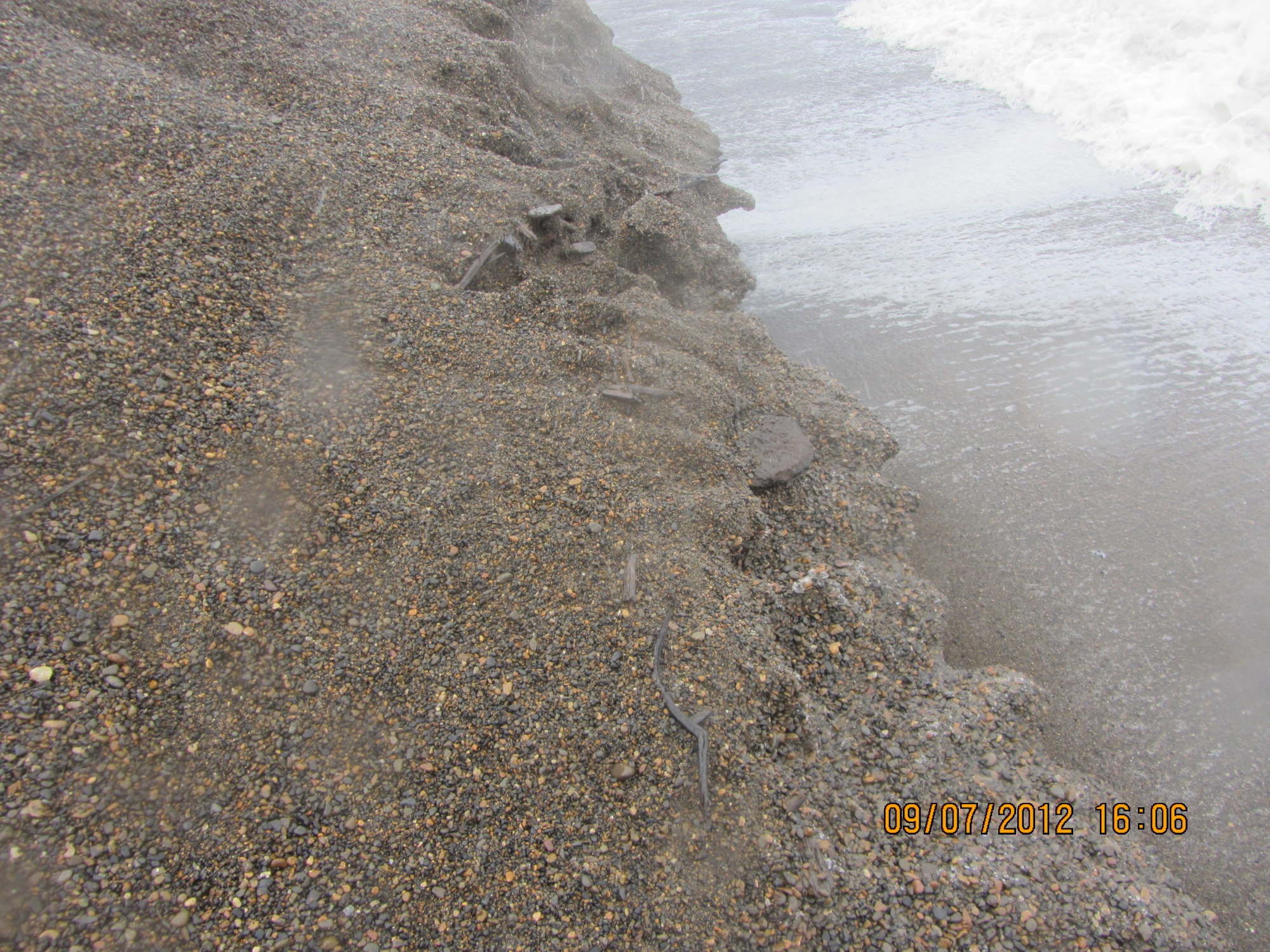
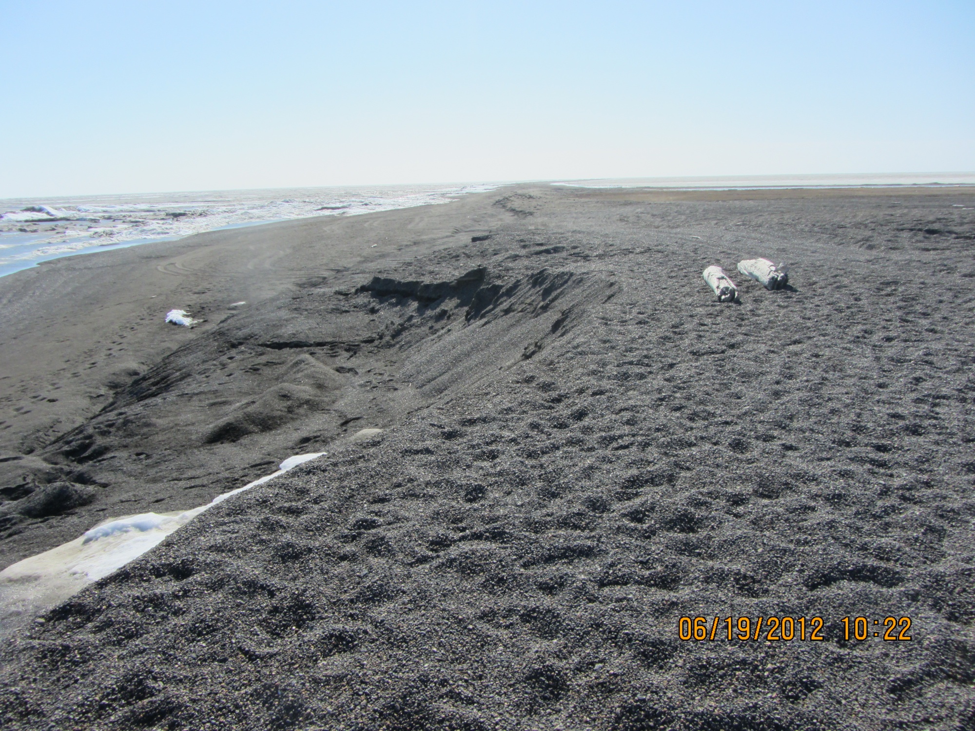
Once we got to Nuvuk and got a look at the site, it was a bit depressing. However, it made a perfect example of coastal erosion in action, and made it really easy to illustrate how information about the past, which could have application to understanding what directions to take to have a sustainable future, is being lost. At least 10 feet (3 m) of the site had been lost to the ocean since couple weeks ago. The gravel slump that had been protecting the face was gone, and thawing permafrost was sticking out and undercut.

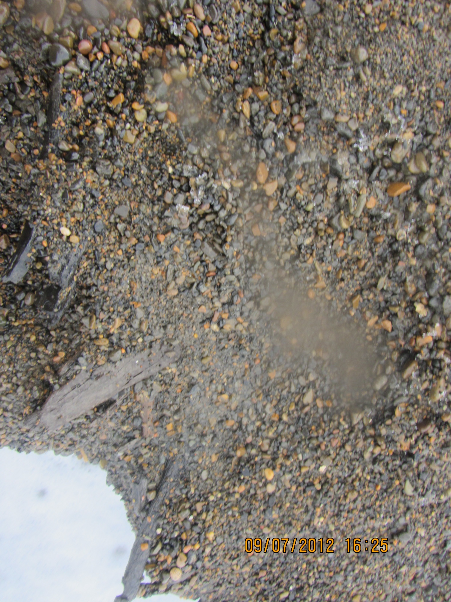
And in that permafrost was the same strandline debris that has proven to be a marker for the Ipiutak occupation. There was a large patch of what looked like fur or peat (which often seems to be found on the floors of Ipiutak structures) and an area where the wood seemed to be far more aligned and level than is normal for a strandline, but would be quite typical for an Ipiutak floor. I tried to get decent pictures, but in the end decided I needed to try to get a sample. I tried walking down on the permafrost, but it was angled, and I couldn’t get close enough without falling off. There were big waves, and the bluff was undercut. If a really big one came at the wrong time, it could wash me off my feet.
Finally, I asked Ricky Bodfish, who was driving the tour van & giving the tour except for the archaeology part, if they had a rope. He did, so he dangled it down the bluff by me, we waited until right after big waves when it looked like a lull and I went down to check it out and try to get close-ups and a sample.

The patch of material turned out to be peat, which I was able to sample, and will send out for dating. My camera got some spray on it, but there was not way or time to clean the lens, so I just kept shooting. Unfortunately a pretty big wave came and dumped gravel on the surfaces just before I got a shot off of the wood, (I managed to turn so I caught it on the side where KTUU’s microphone pack wasn’t) and I could hear the next one was even louder. I ran, and made it into an area above the waves before the big one broke.

Fortunately, nothing soaked through the Carhartts so I just took them off for the rest of the trip.
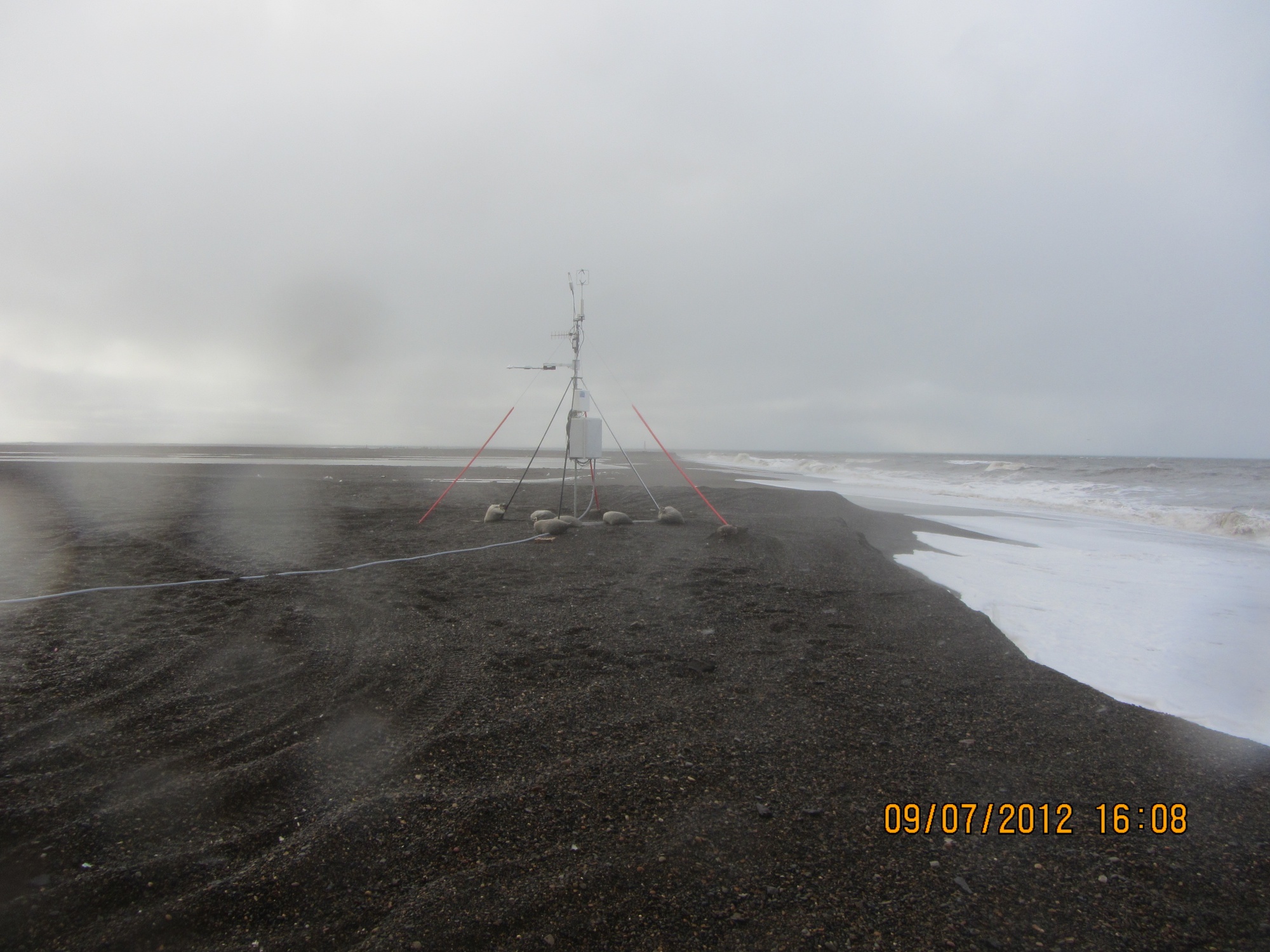
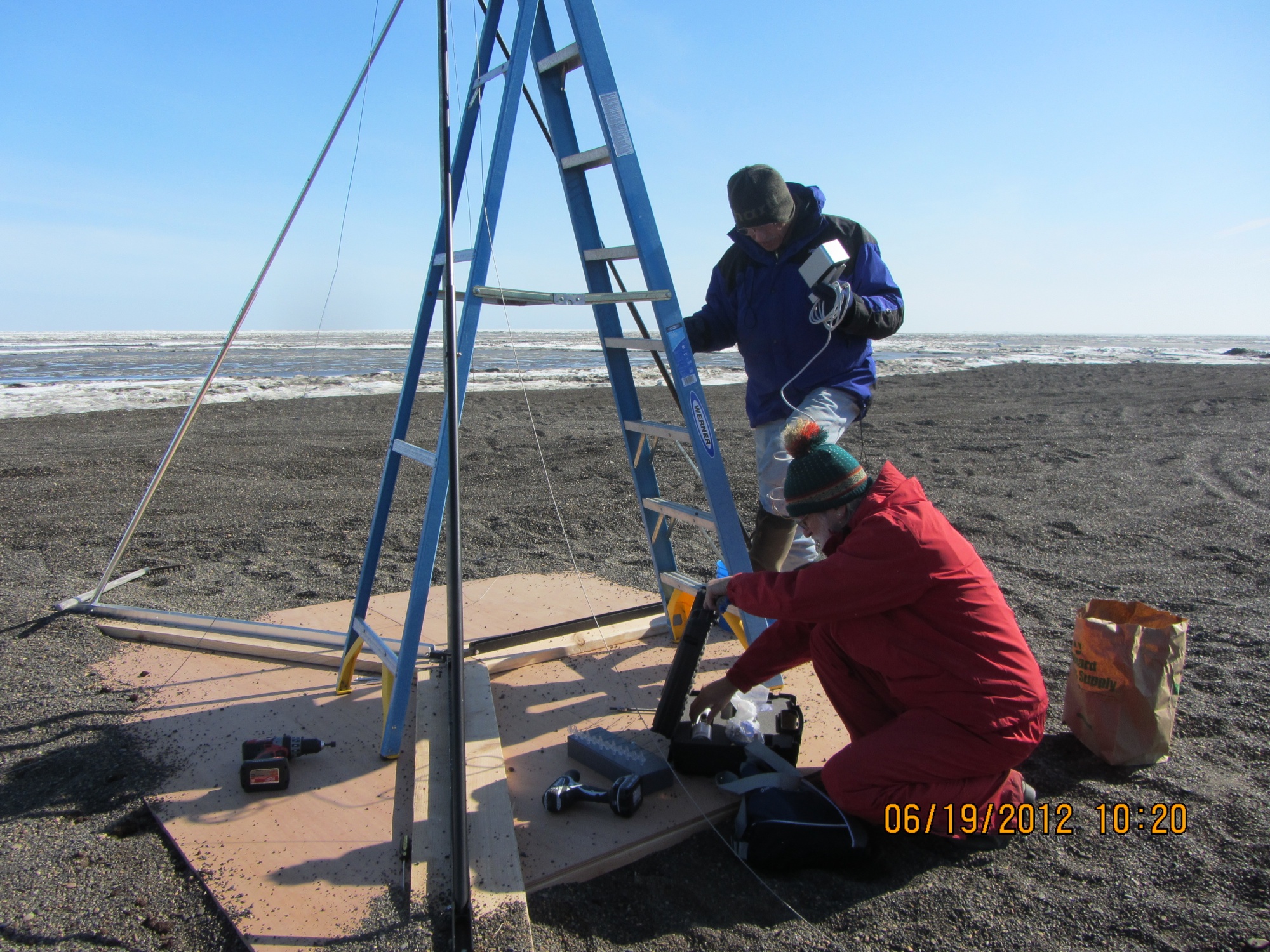
We had been monitoring the tower we’d put out in June, and just a few days earlier had thought it would be fine. However, the storm had taken out a lot of the bluff, and I wound up calling & texting the guys who work on the ARM project for UICS. They wound up going out later that evening and hauling the whole thing about 50 feet (15m) farther back from the edge. Just in time, since by the time they got out there, they figured it was 2-3 feet (< 1m) from the edge.

After that, the KTUU fellow wanted to see the farthest North point and go to the bone pile to see if there were any bears. We set off, and almost immediately had to detour. The trail we normally use to get to the site, which is always dry, had water all over it from the storm surge.

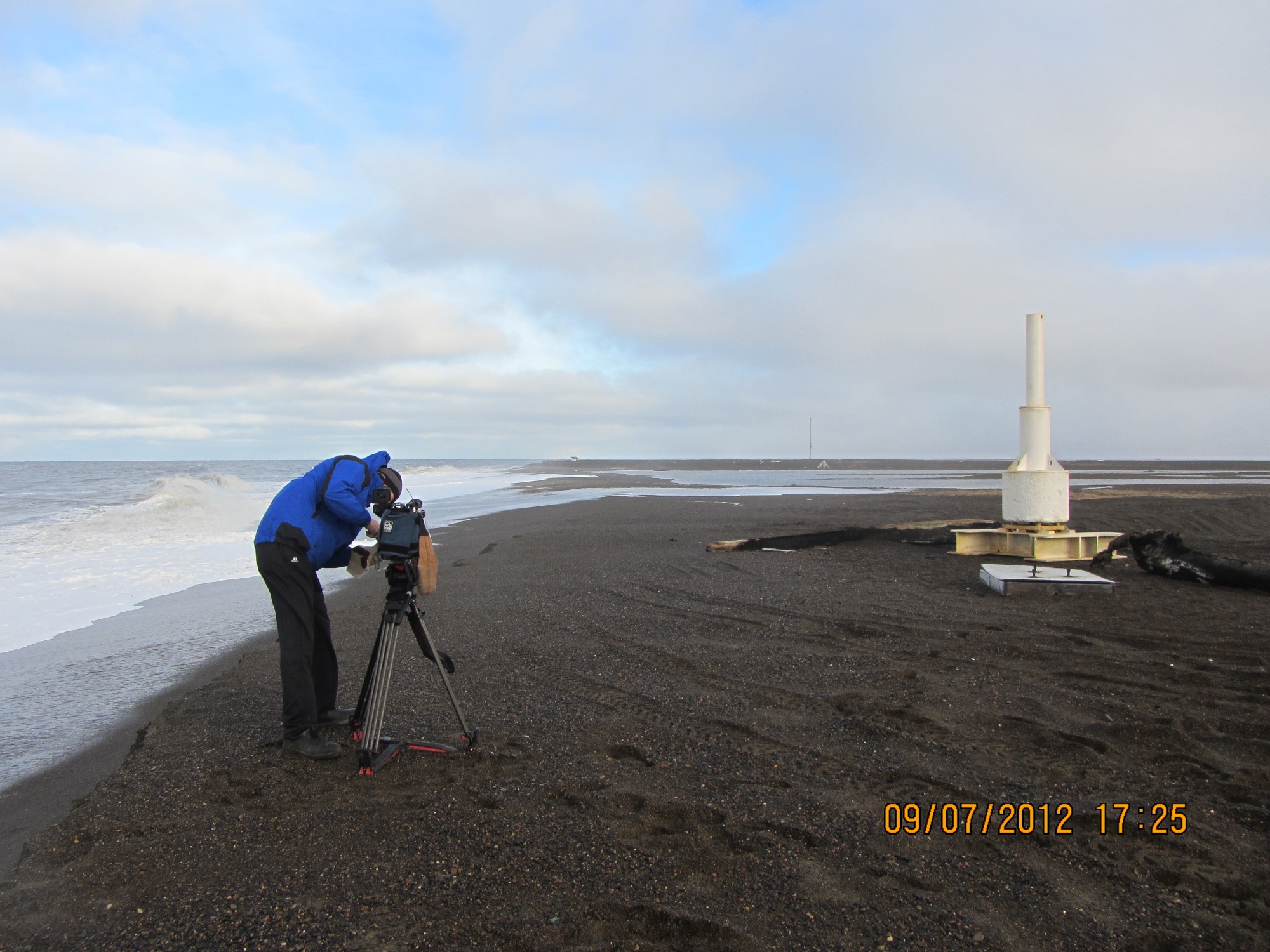
We made it to the farthest North point, which was a bit less far North than previously. The storm surge had made it to the tip of one of the whale jawbones, and about 10 feet was missing here too. However, we did get some nice light, and the KTUU guys got busy.


Unfortunately, the trip to the bone pile did not come off. The storm surge had caused it to nearly become an island. Ricky was not sure how solid the ground was, and we did not want to get stuck there, so we gave it a miss. On the way back to the road, it was really clear how much of the Chukchi side of the Point Barrow spit had been eaten. The ocean was almost up to the berm along the road, and there used to be a fairly wide strip of gravel there.

A visit from the media
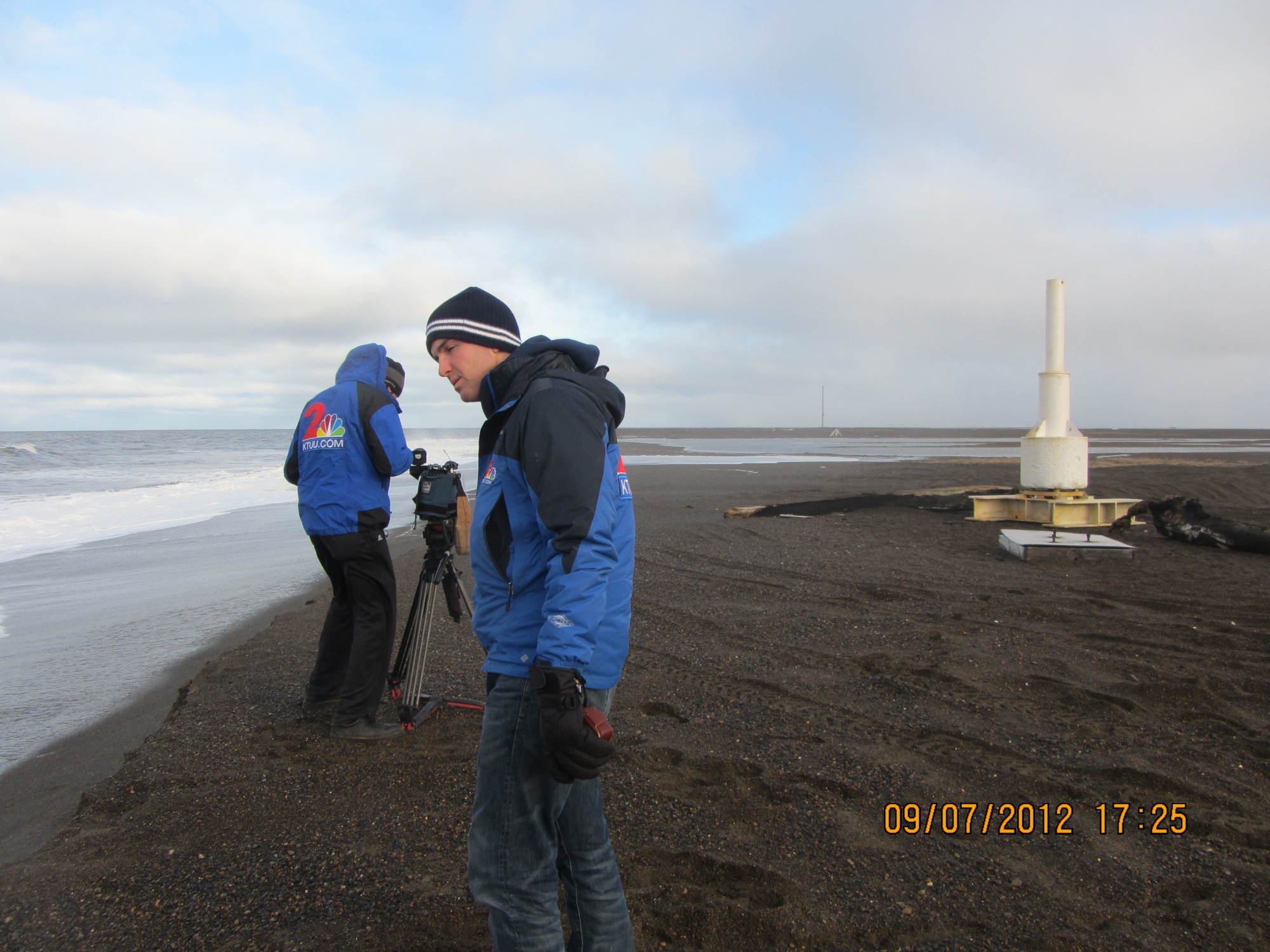
The important but not overly exciting routine of proposal preparation & writing on my part, and cataloging on Coby’s part was broken on Friday. KTUU TV, the Anchorage NBS affiliate, sent a crew to Barrow for a few days. They were covering the football team, and wanted to get some practice footage, but that left them with lots of free time, so they had to get as many other stories as possible, and they decided to go for science stories.
I know they did an interview with George Divoky, who had just made it in off Cooper Island (the weather has been really awful–not boating weather at all). They also shot some footage about Nuvuk and coastal erosion.
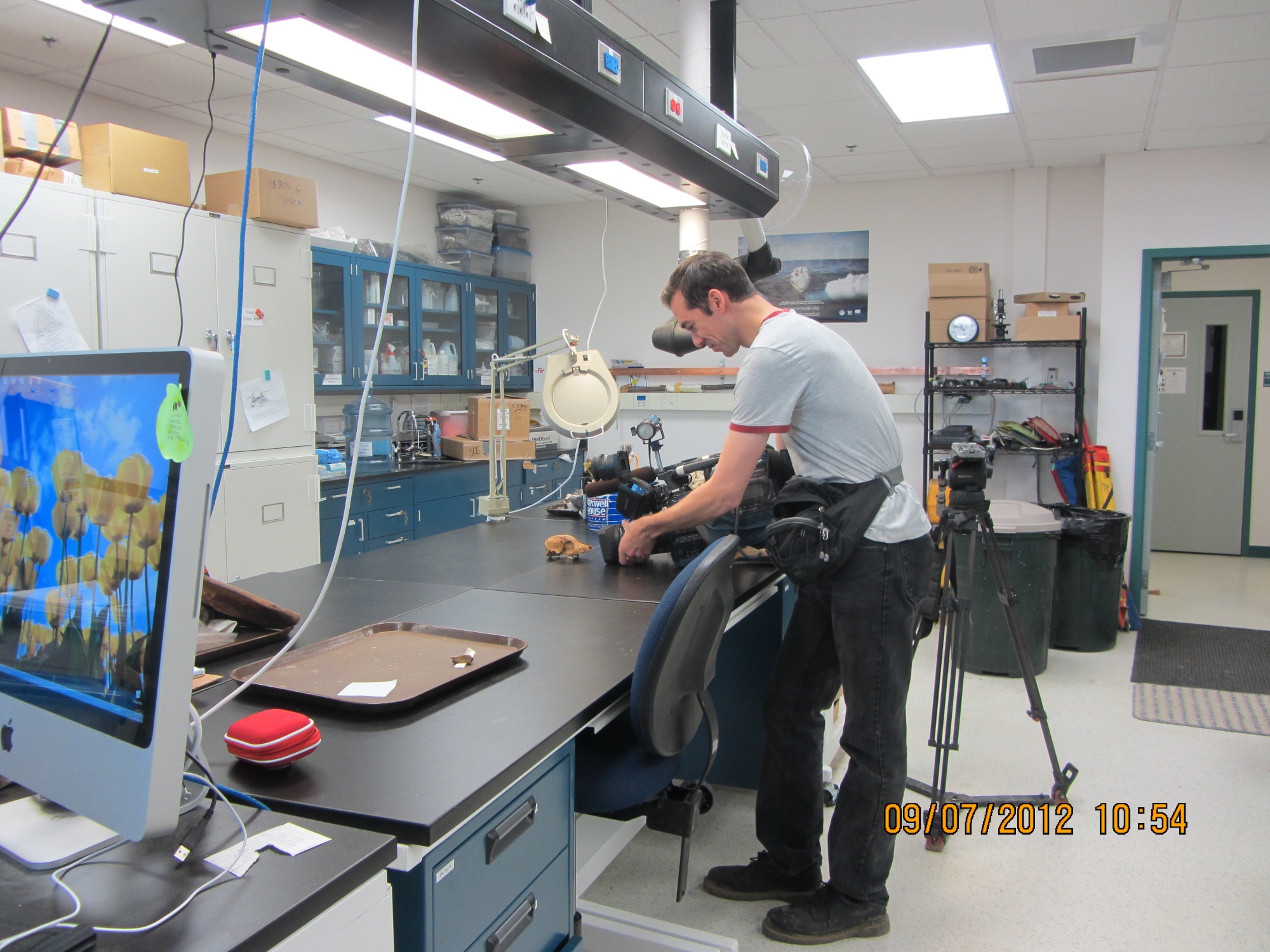
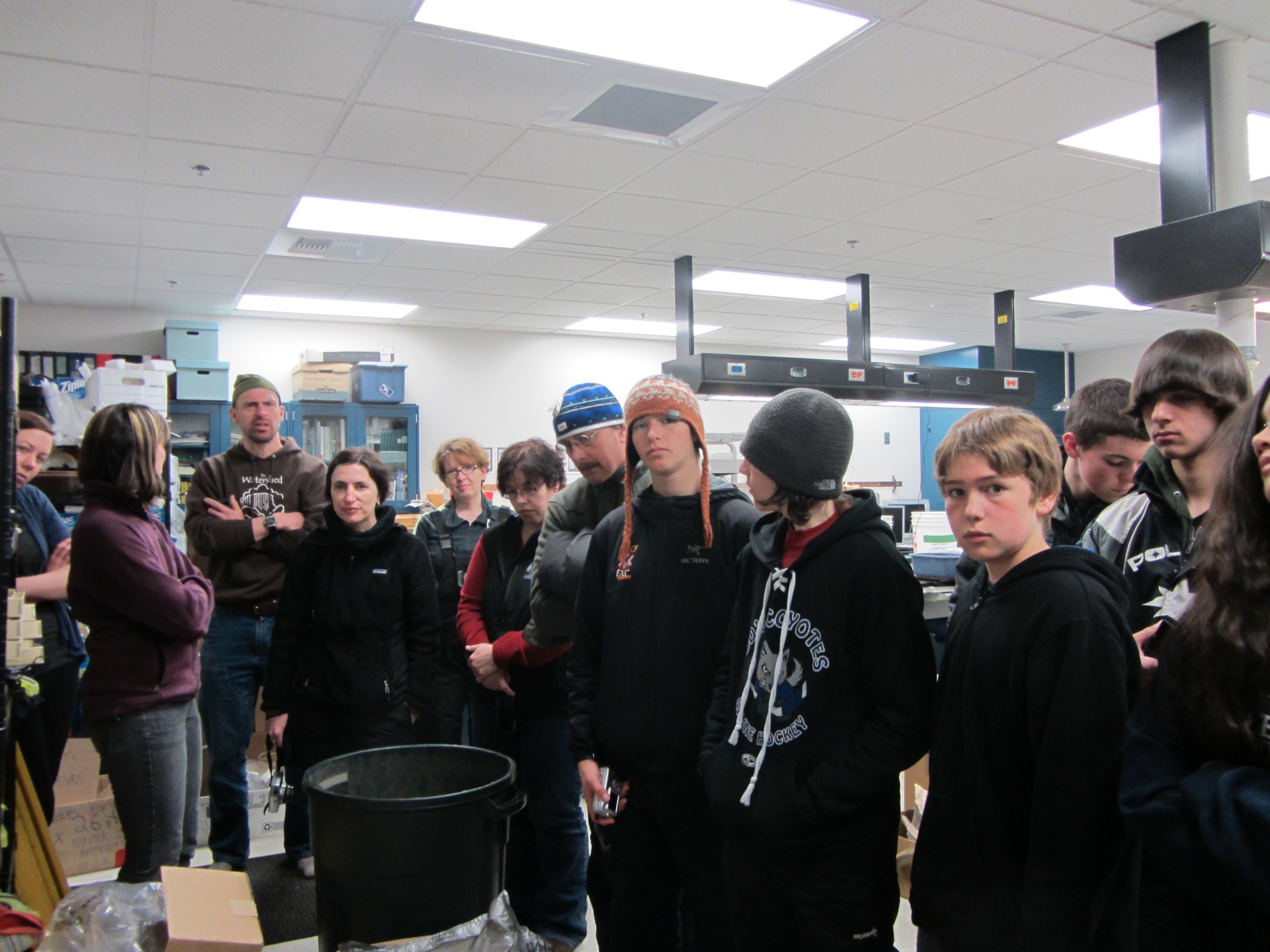
First they stopped into my lab for an hour or so. They shot a fair bit of footage of Coby Hatcher (who is going to HS on-line and therefore was working in the lab when they were there) doing various things one does in an archaeology lab, including re-bagging cataloged artifacts and entering storage locations for artifacts in the catalog database so they can be found again.

With a big collection, this is pretty important, since otherwise it can be very hard to retrieve things. It actually came up because I was trying to find the bird bone from the Ipiutaq levels that had been used to make needle blanks. A number of folks think it looks like it is an albatross bone, which is interesting if true, since there aren’t many albatross around here. One of them is involved in a project which is doing ancient DNA work, and offered to run some of this bone to see if it really is albatross. There was no storage location in the catalog, so we had to look a bit. We found it and I’ll mail it out, and Coby put updates in the catalog.
Then they shot some footage of me showing some of the artifacts, and some of me doing an interview about the project and what one can learn through archaeology. That lead into what gets lots when sites are lost to coastal erosion and/or warming and permafrost thawing.


After that, they headed off to do something else. In the late afternoon, we headed out to Point Barrow for them to get some shots of the site and, as it turned out, coastal erosion in action. That’s a story in itself, so that will be the next post.
Papers and proposals
I’m afraid I’ve been pretty silent here. It was not a case of writer’s block exactly; I was writing quite a lot. It’s just that I had a lot of papers and proposals that were due (or overdue–sorry ’bout that, editor people) and was really trying to get them done. Between feeling guilty about writing anything that wasn’t the late chapters/papers/proposal sections and actually writing some much that my hands were sore and my brain was protesting, something had to give.
At this point, one article is published electronically (unfortunately behind a pay wall :-), there are three chapters of books (one mine, two co-authored with Glenn Sheehan) off for review, I’ve got most of what I need in to the PIs for two proposals due soon, and I’ve just got one chapter and two shortish encyclopedia entries to write and a proposal to rewrite, an abstract to submit for the Society for American Archaeology meetings next spring (in Hawaii, so yes I’m going), and posters (or maybe a talk) for the AGU meeting in San Francisco in December. Oh, and the annual budget process is starting.
Things are pretty quite in the lab with most of the students graduated. There is one home school student who is still working away, since he has more flexible hours. I hope to start getting something done in there myself once the writing frenzy is over.
A not so quick trip to Nuvuk
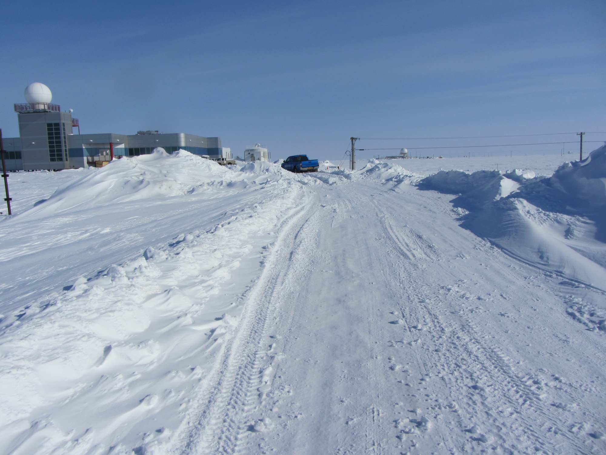
I got out to Nuvuk today for the first time today. The ARM project that we support want to put a flux tower at the Point to measure flux off the ocean during the open water season. The thing is that the ideal spot for the tower is on the ridge where the Nuvuk site is.
In the past, other folks wanted to put flux towers there, but there simply wasn’t room for a tower in an area where we had already tested and recovered all the burials, and we didn’t want to chance disturbance to a burial. Now we’ve gotten a good way ahead of the erosion, so it seemed that it might be possible. However, I didn’t want the tower to be on top of the possible Ipiutaq structures, just in case funding for their excavation is available. Since the tower installation involved moving a little gravel, it was important for me to be there just in case something showed up.
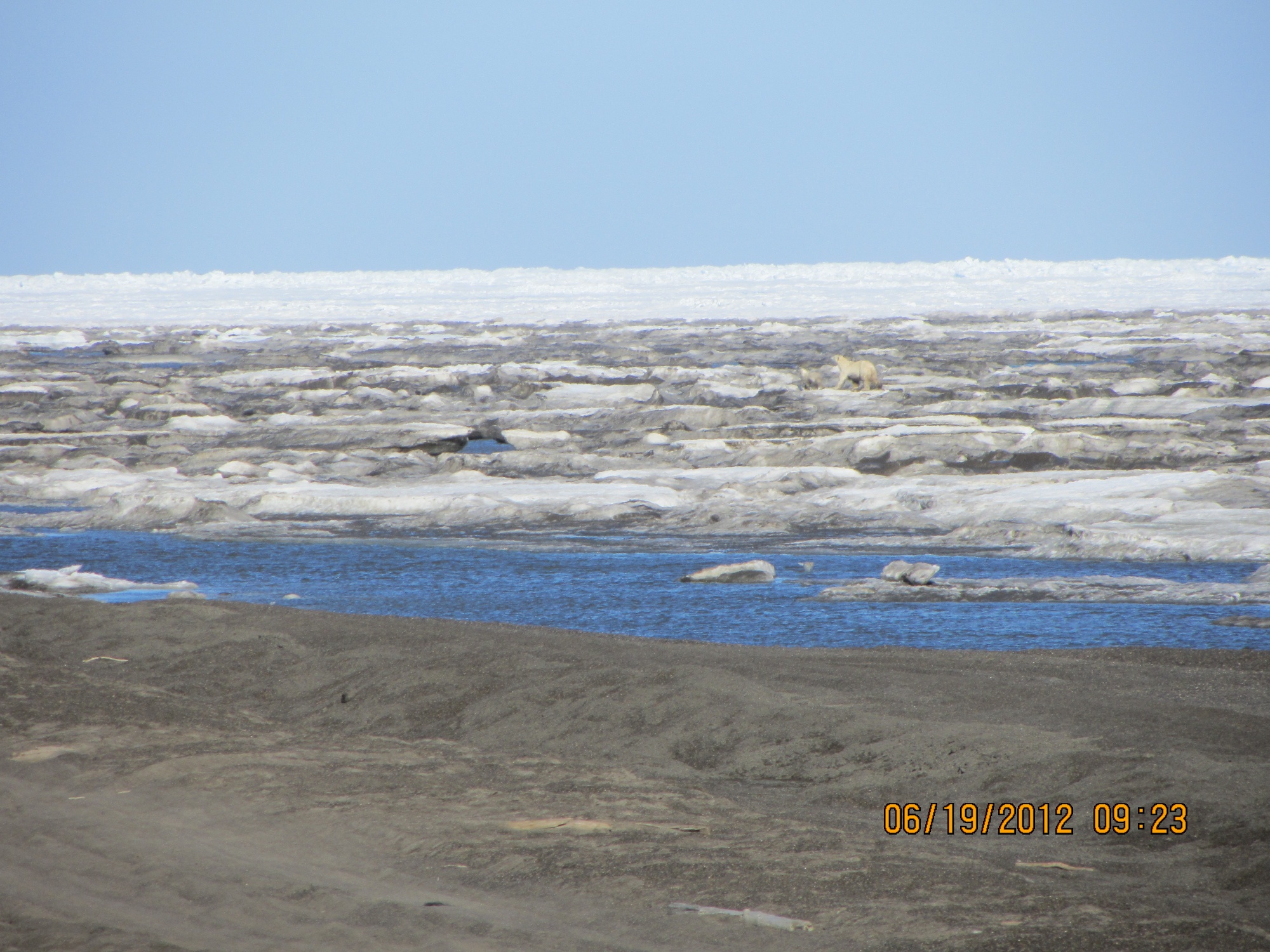
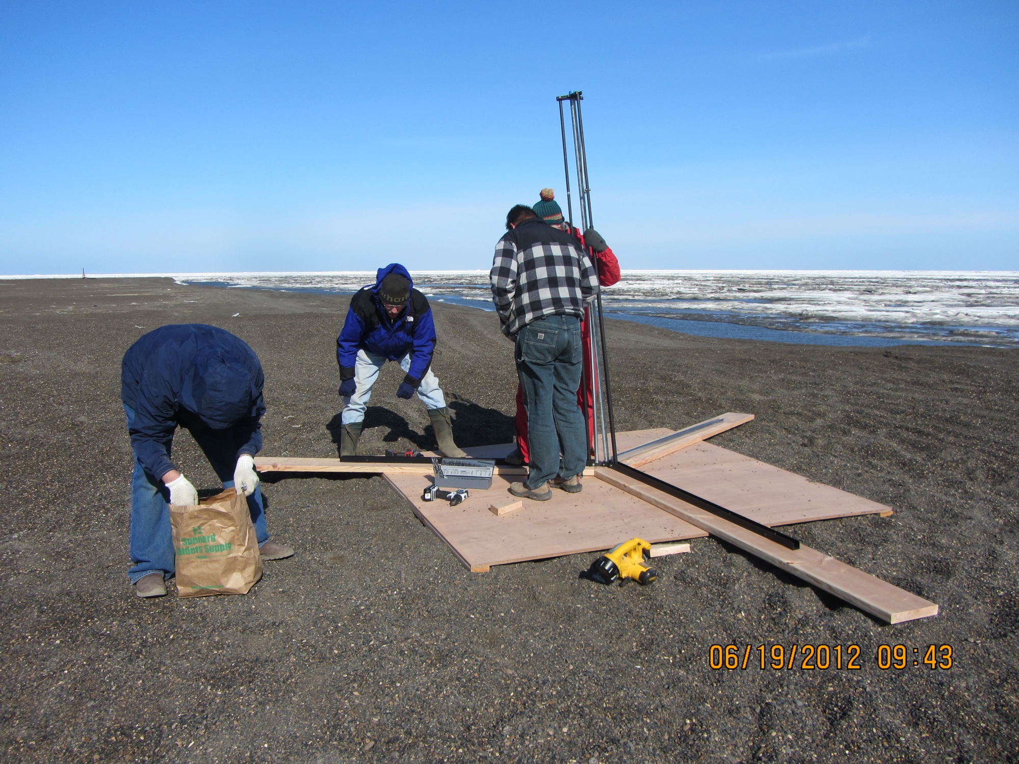
It took a while to get out there, since the ARM Kubota is on tracks and can only go about 15 miles an hour. We quickly got a spot picked for the tower. After that, I spent most of my time looking around for bears while the others started putting the tower together. I spotted 2, a mom and a cub, who were heading to the bone pile.


We decided to use sandbags for the guy-wires and then added some more on top the tracks on the base plate. To minimize disturbance to the site, we decided fill the “sand”bags with beach gravel, and bring them up with a four-wheeler.

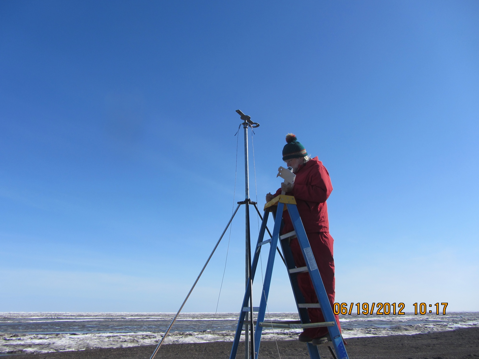
After the tower was assembled and the instruments were on, the instruments needed to be wired up. That took a while, but I had to sick around since one of them needed to look down are gravel, so we needed to cover the plywood base plate, which meant more digging.
That gave me time to check out the area where we salvaged the Ipiutak structure last fall. Good thing we did that last fall, because that area is gone. There is a big notch in the bluff there, and that’s it. It would have been a pity to lose that, because we found some very interesting things in the field and in the lab.

While I was getting to play, the crew was working away in the lab. They have finished floating and sorting the materials from the fall salvage, and are moving on. Over the winter, we’ve had several sets of visitors on short notice, which required some materials to be cleaned off benches fairly quickly. As a result, there were a lot of miscellaneous boxes around the lab. The crew has reorganized several cabinets and gotten most of the boxes emptied. There is plenty of bench space, so we are moving on to cataloging and marking.

Sustainability, Ipiutak and Graceland!
I’ve been in Memphis for the 77th annual meeting of the Society for American Archaeology. It’s been pretty busy, so I’m having to do a couple of recap posts. WordPress just dumped a post of over 1000 words with no trace, despite lots of prior saving, so this is going to be a 2-parter.
I left Barrow on Monday night, PowerPoints mostly done, and arrived in Memphis early the next evening. I spent the morning putting the final touches on the presentations, and after grabbing a bite to eat, I headed over to the Comfort Inn to the steering committee meeting for the new Long-term Human Ecodynamics RCN of which I am part. Since a number of us haven’t worked together before (RCNs are for building networks, in part), along with the updates on how sessions which had gotten RCN support had gone, the status of some upcoming meetings and budget situation that are usual for such things, a number of us did presentations on what we did/are doing to wind up as participants. The RCN is working on 3 fronts: systematic comparisons of archaeological cases which can be considered as completed “experiments” in long-term human ecodynamics, development of cyberinfrastructure to make such comparisons more feasible, and sustainability education and community involvement.
I’m primarily part of Focus 3. I talked about Nuvuk, and hope I made the points that students are more engaged if they can work on a site which is actually scientifically important rather than one which is of a type that is so well understood that it can be “sacrificed” for training. I also hit the destruction of sites in the North, since that will undercut our ability to do the sort of archaeology necessary to really understand the ecodynamics of a situation well enough to make policy-relevant contributions.
Afterwards, we adjourned to Papa Pia’s for pizzas & more discussion. The pizzas were good, although I generally don’t expect eight (!) slices in a personal pizza.
The next day was a long one. The Arctic/Subarctic session started at 8AM. The room was rather noisy, with a pile driver working outside that was literally shaking the building! Despite that, there were some interesting papers. Bryan Wygal led off with a paper on the Nenana and Denali complexes (stone tool groups in Alaska). Nenana, which is earlier, does not have microblades and Denali does. There are various theories about this, including climate change. I don’t think Bryan had a final answer, but he did have some data to bear on the question. He was followed by Risa Carlson talking about some recently discovered early sites in the Alexander Archipelago in SE Alaska. There were very few early sites found until geologists figured out that the continental glaciers had actually pushed the land on the unglaciated edge like the islands up (called a “forebulge”), so that old shorelines were at a different elevation (taking into account the forebulge relaxing and sea level changes) than people had thought. With the new model, archaeologists have been finding old sites. Then Leslie Howse talked about the archaeofaunas (animal bones) from two sites on Grinnell Peninsula in the Eastern Arctic. One is a site from the Late Dorset culture and the other is an Early Thule site. They are very close to each other in both time and space, so she was investigating if the known differences in technology (the Dorset didn’t have bows, floats, whaling gear or dog teams, for starters) and probably in social organization were reflected in the animals they were catching. Indeed, that seems to be the case.
I followed with my paper on Ipiutak hearths. I talked about the hearths at the type site, which are often described as being annular (like a bull’s-eye). I believe that the testing technique in use, which consisted of people digging in the middle of any depression suspected of being an Ipiutak house, resulted in the hearths having their tops cut off by the time the archaeologists got there to draw them, leaving a bull’s-eye effect instead of a mound. I also talked about the box hearth at Nuvuk.
After that, we moved to the Aleutians, with Caroline Funk giving a paper on bird use on the Rat Islands. The Rats got their name from rats introduce from ships, which pretty much wiped out the birds. They have been eradicated, and biologists would like species lists of what was there. She was pointing out that cultural factors are involved in bird use, and that they must be considered in interpretation. She is still working on this, but is finding references including symbolic and spiritual uses, as well as the obvious uses for food and raw material. Diane Hanson gave a nice talk about an upland house on Adak that her crew excavated. It was interesting, not the least because the received wisdom is that there were no inland sites in the Aleutians. They were trying to identify activity areas in the house, but unfortunately this particular house seems to have been abandoned on purpose, so it had been cleaned very carefully. However, it did have some neat floor and chimney features similar to those seen at Amaknak Bridge and Margaret Bay. Roberta Gordaoff gave a talk comparing lithic (stone) tools from upland and coastal sites on Adak. After that Joseph Wilson talked about advanced archery technology (mostly Athabaskan) from an ethnohistorical perspective, and Tiffany Curtis finished up with a talk on building a dendrochronology (tree-ring dates) for the Forty-Mile River area in Alaska, in part to help data all the prospectors’ cabins there.
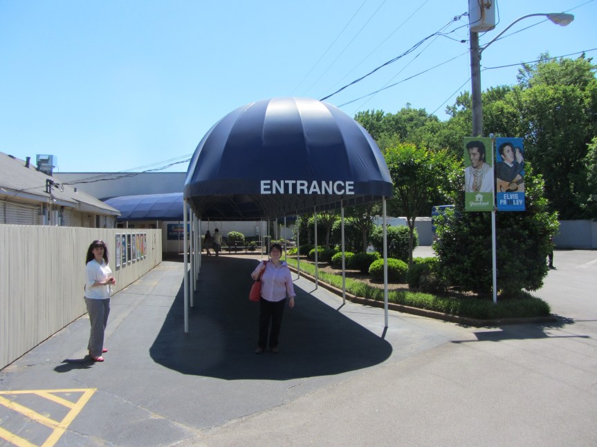
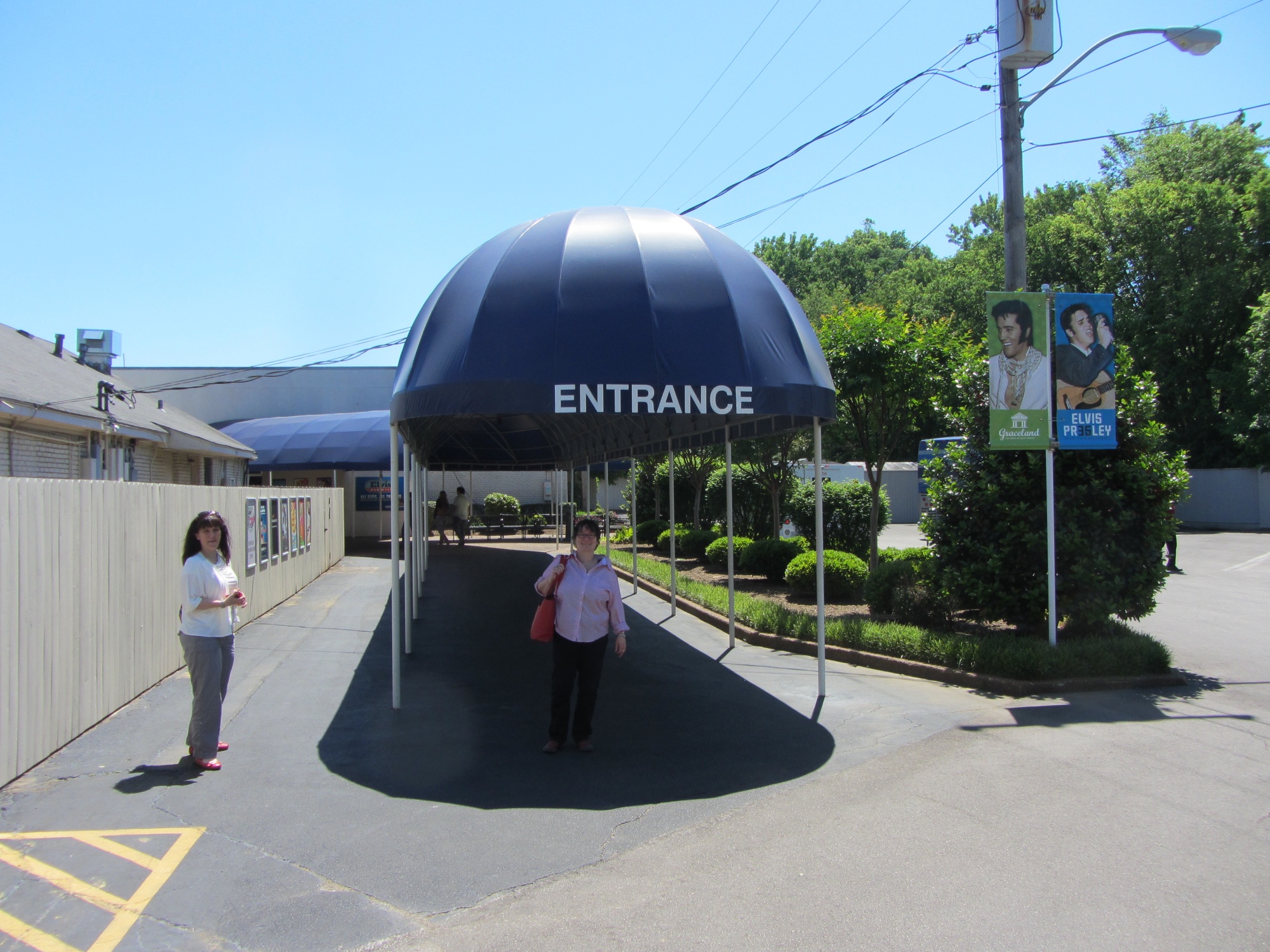
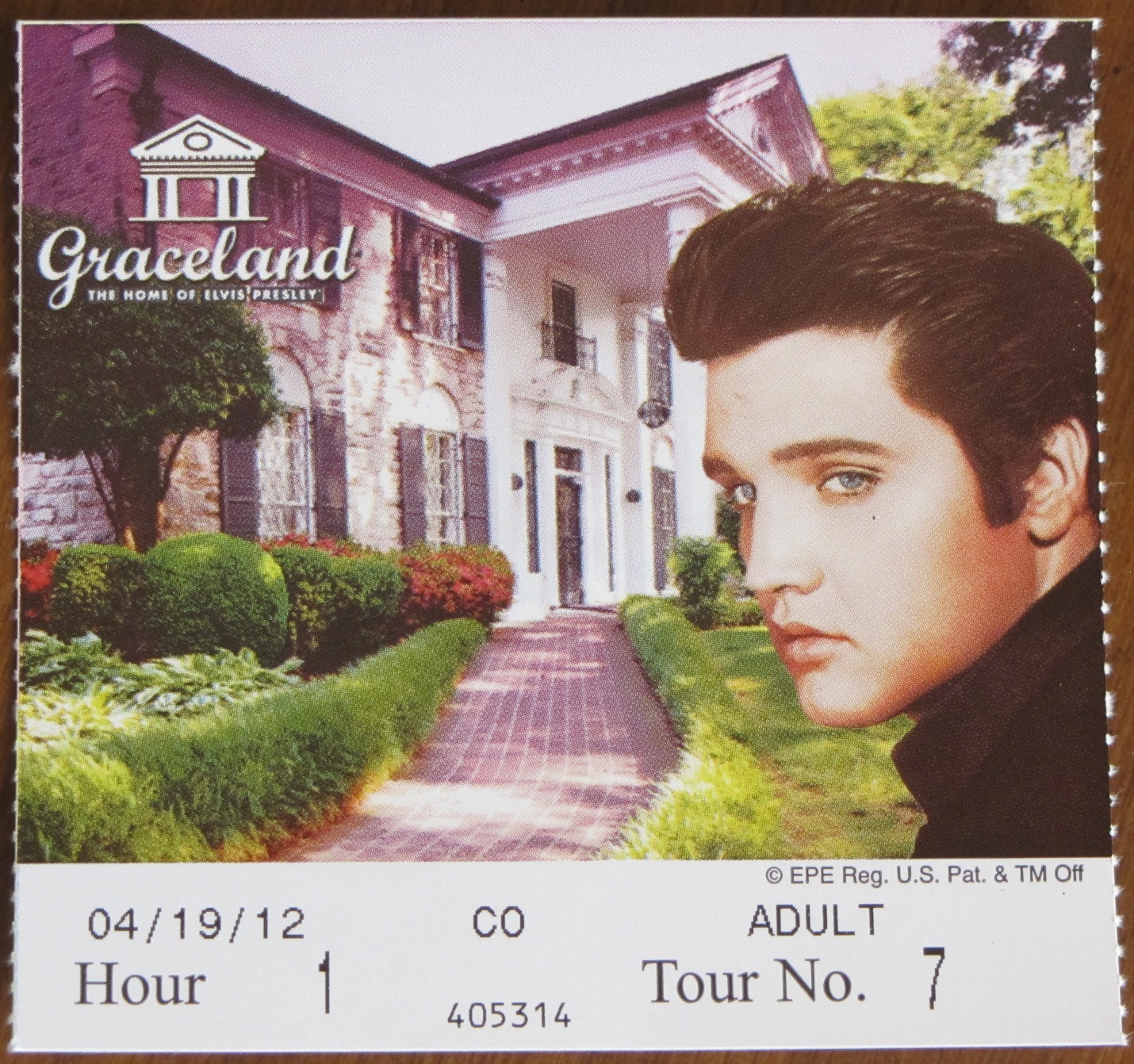
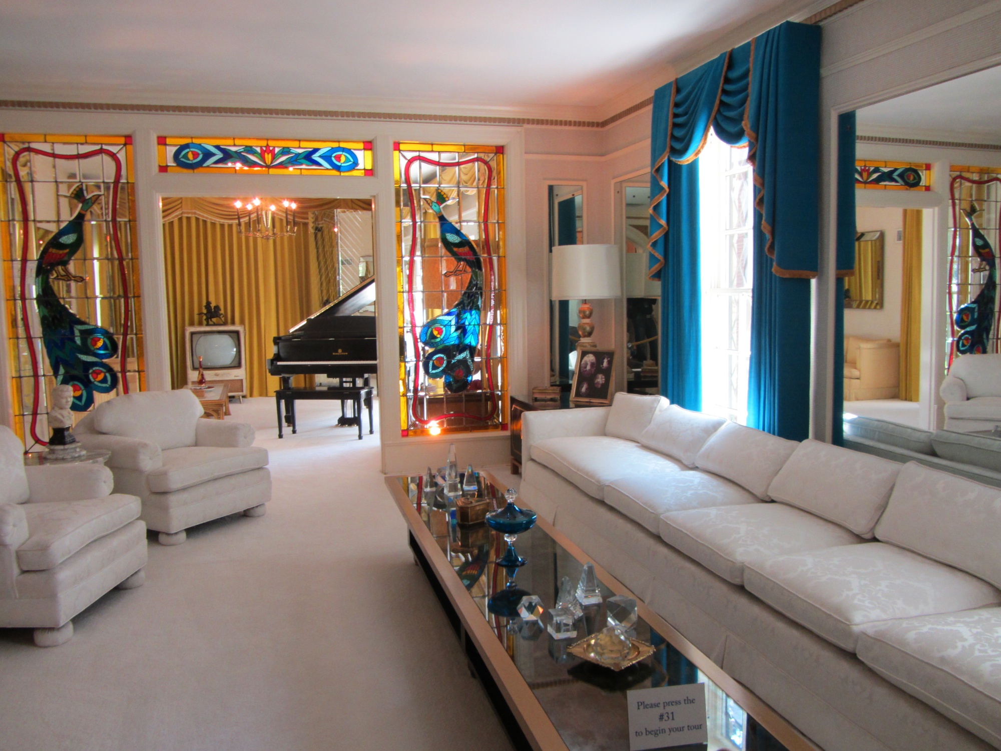
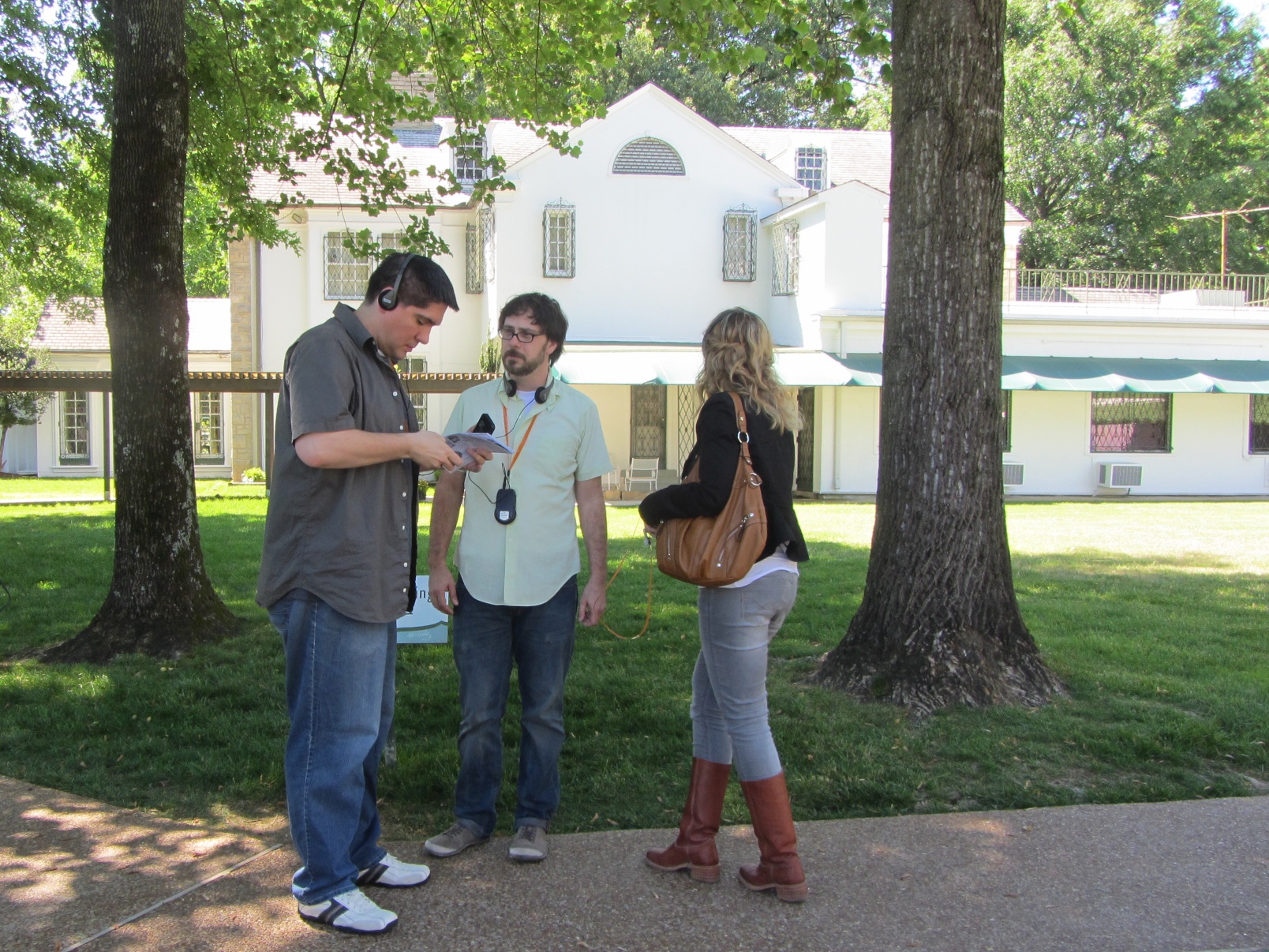
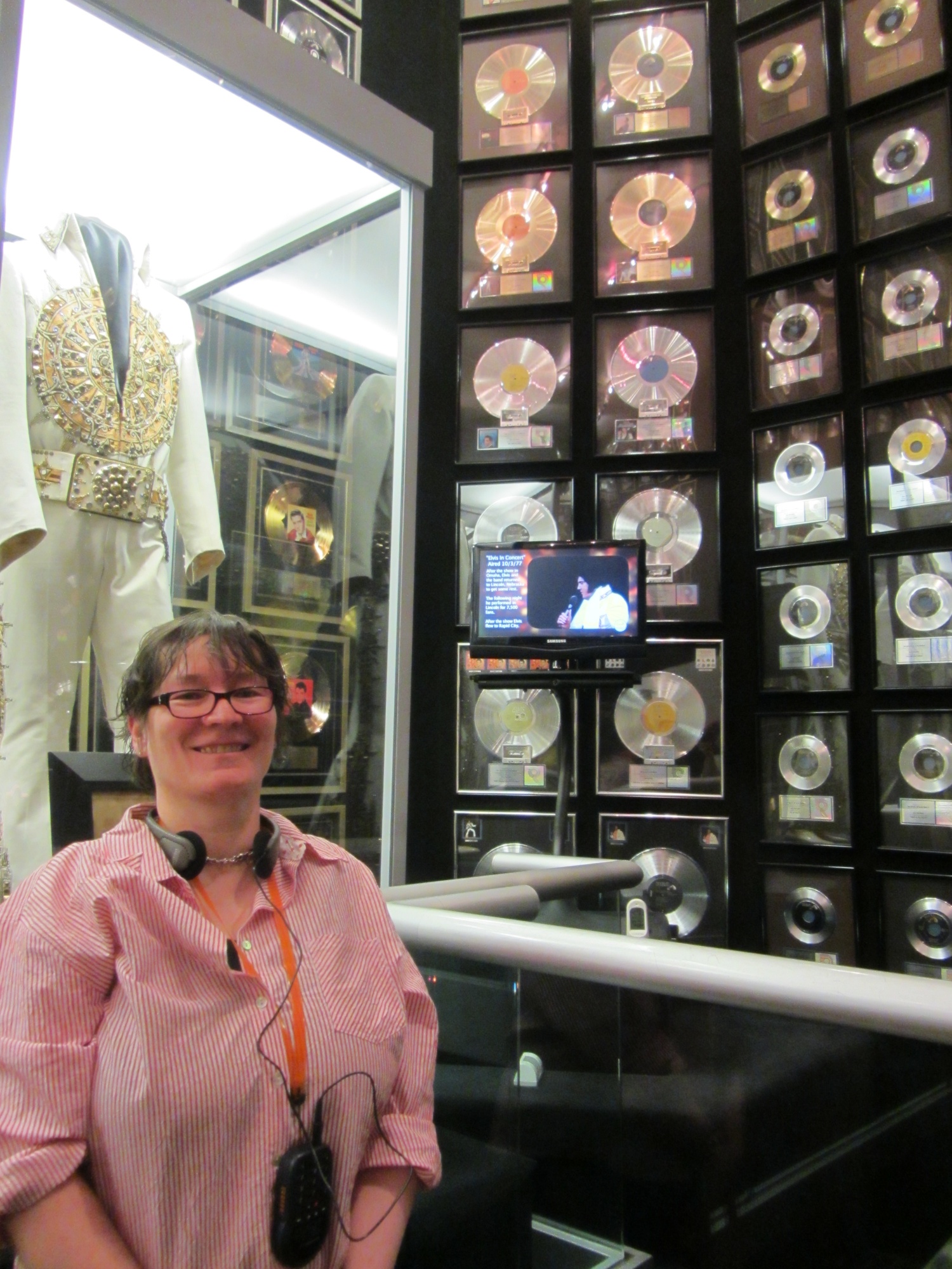
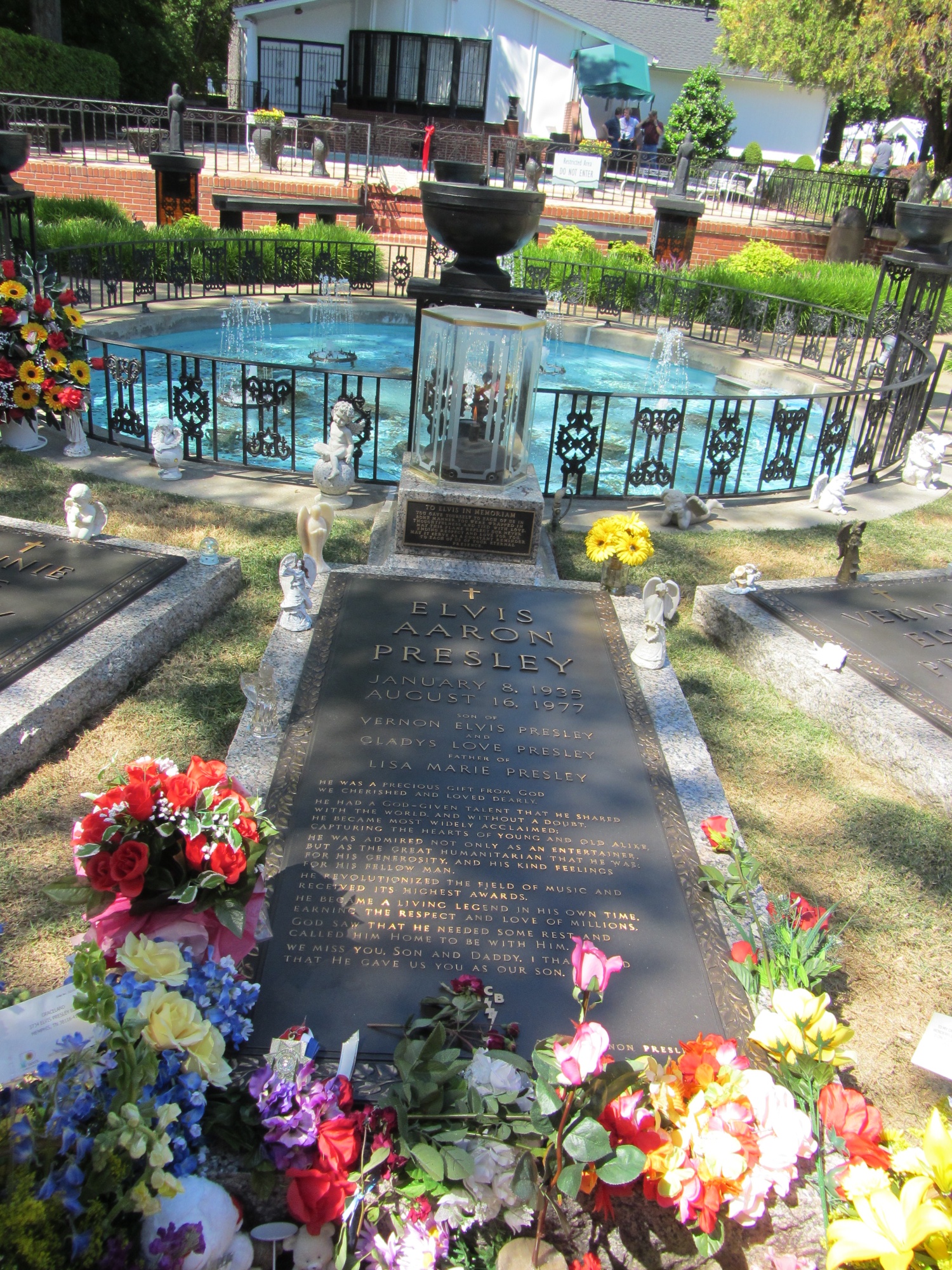
After that, we went to Graceland! Matt Betts, Karen Ryan, and several of their Canadian colleagues made the pilgrimage. The last time Matt & I went to a tourist attraction at a conference, it was the Louvre, so from the sublime to the ridiculous perhaps, but still, I was in Memphis, it was close, so I had to go.