I’ve been in Memphis for the 77th annual meeting of the Society for American Archaeology. It’s been pretty busy, so I’m having to do a couple of recap posts. WordPress just dumped a post of over 1000 words with no trace, despite lots of prior saving, so this is going to be a 2-parter.
I left Barrow on Monday night, PowerPoints mostly done, and arrived in Memphis early the next evening. I spent the morning putting the final touches on the presentations, and after grabbing a bite to eat, I headed over to the Comfort Inn to the steering committee meeting for the new Long-term Human Ecodynamics RCN of which I am part. Since a number of us haven’t worked together before (RCNs are for building networks, in part), along with the updates on how sessions which had gotten RCN support had gone, the status of some upcoming meetings and budget situation that are usual for such things, a number of us did presentations on what we did/are doing to wind up as participants. The RCN is working on 3 fronts: systematic comparisons of archaeological cases which can be considered as completed “experiments” in long-term human ecodynamics, development of cyberinfrastructure to make such comparisons more feasible, and sustainability education and community involvement.
I’m primarily part of Focus 3. I talked about Nuvuk, and hope I made the points that students are more engaged if they can work on a site which is actually scientifically important rather than one which is of a type that is so well understood that it can be “sacrificed” for training. I also hit the destruction of sites in the North, since that will undercut our ability to do the sort of archaeology necessary to really understand the ecodynamics of a situation well enough to make policy-relevant contributions.
Afterwards, we adjourned to Papa Pia’s for pizzas & more discussion. The pizzas were good, although I generally don’t expect eight (!) slices in a personal pizza.
The next day was a long one. The Arctic/Subarctic session started at 8AM. The room was rather noisy, with a pile driver working outside that was literally shaking the building! Despite that, there were some interesting papers. Bryan Wygal led off with a paper on the Nenana and Denali complexes (stone tool groups in Alaska). Nenana, which is earlier, does not have microblades and Denali does. There are various theories about this, including climate change. I don’t think Bryan had a final answer, but he did have some data to bear on the question. He was followed by Risa Carlson talking about some recently discovered early sites in the Alexander Archipelago in SE Alaska. There were very few early sites found until geologists figured out that the continental glaciers had actually pushed the land on the unglaciated edge like the islands up (called a “forebulge”), so that old shorelines were at a different elevation (taking into account the forebulge relaxing and sea level changes) than people had thought. With the new model, archaeologists have been finding old sites. Then Leslie Howse talked about the archaeofaunas (animal bones) from two sites on Grinnell Peninsula in the Eastern Arctic. One is a site from the Late Dorset culture and the other is an Early Thule site. They are very close to each other in both time and space, so she was investigating if the known differences in technology (the Dorset didn’t have bows, floats, whaling gear or dog teams, for starters) and probably in social organization were reflected in the animals they were catching. Indeed, that seems to be the case.
I followed with my paper on Ipiutak hearths. I talked about the hearths at the type site, which are often described as being annular (like a bull’s-eye). I believe that the testing technique in use, which consisted of people digging in the middle of any depression suspected of being an Ipiutak house, resulted in the hearths having their tops cut off by the time the archaeologists got there to draw them, leaving a bull’s-eye effect instead of a mound. I also talked about the box hearth at Nuvuk.
After that, we moved to the Aleutians, with Caroline Funk giving a paper on bird use on the Rat Islands. The Rats got their name from rats introduce from ships, which pretty much wiped out the birds. They have been eradicated, and biologists would like species lists of what was there. She was pointing out that cultural factors are involved in bird use, and that they must be considered in interpretation. She is still working on this, but is finding references including symbolic and spiritual uses, as well as the obvious uses for food and raw material. Diane Hanson gave a nice talk about an upland house on Adak that her crew excavated. It was interesting, not the least because the received wisdom is that there were no inland sites in the Aleutians. They were trying to identify activity areas in the house, but unfortunately this particular house seems to have been abandoned on purpose, so it had been cleaned very carefully. However, it did have some neat floor and chimney features similar to those seen at Amaknak Bridge and Margaret Bay. Roberta Gordaoff gave a talk comparing lithic (stone) tools from upland and coastal sites on Adak. After that Joseph Wilson talked about advanced archery technology (mostly Athabaskan) from an ethnohistorical perspective, and Tiffany Curtis finished up with a talk on building a dendrochronology (tree-ring dates) for the Forty-Mile River area in Alaska, in part to help data all the prospectors’ cabins there.
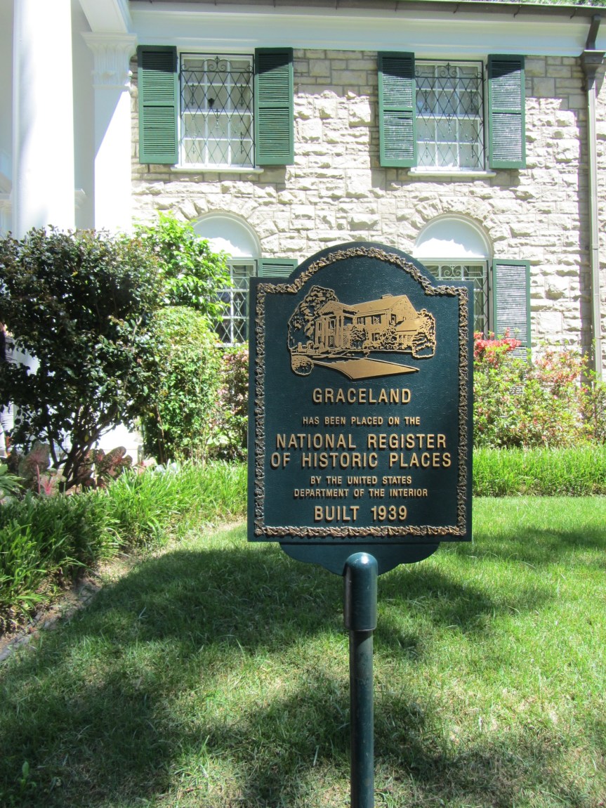
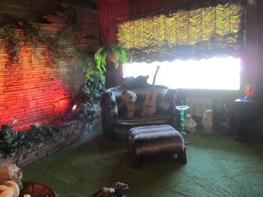
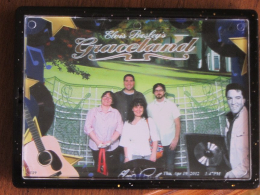
After that, we went to Graceland! Matt Betts, Karen Ryan, and several of their Canadian colleagues made the pilgrimage. The last time Matt & I went to a tourist attraction at a conference, it was the Louvre, so from the sublime to the ridiculous perhaps, but still, I was in Memphis, it was close, so I had to go.
