I’ve been thinking about a site I located over 20 years ago, on a survey for a project that was never built. It is on high ground next to a lake, with a really good view of about 270° around. I first saw it from a helicopter about 5 miles out and it stood out like a sore thumb. I can’t imagine there isn’t a name for that place, since it has clearly been used for hundreds of years (at least). The lake it is next to is labeled Kilusiktok on maps and quad sheets, but I don’t know if that is its real name, or if the name is spelled right. I have been told that the names of a lot of lakes in the area got attached to the wrong lake on the maps. The lake is the lowest pin in the map below.

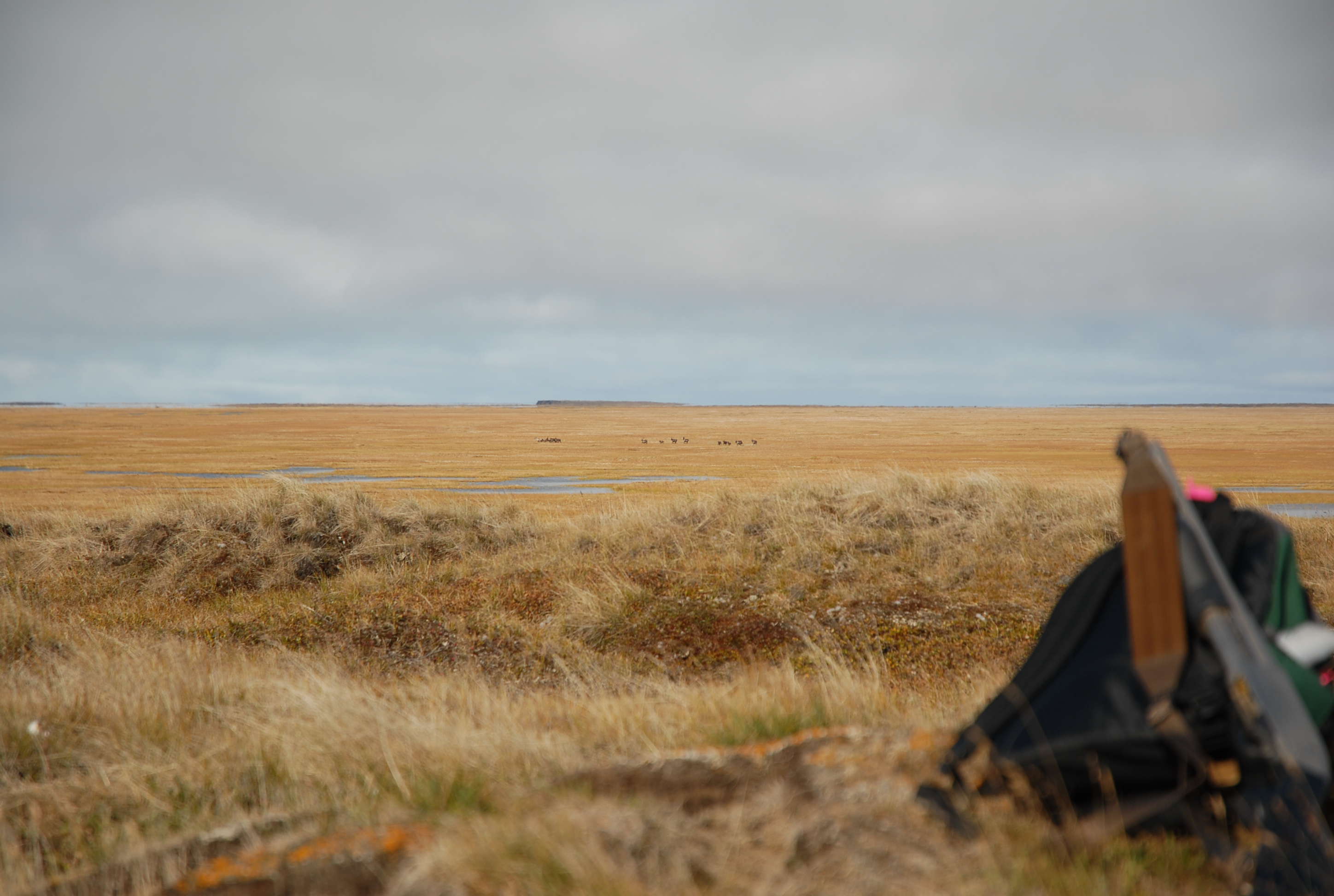
The site is on high ground not quite halfway down the west side of the lake, and there’s a trail that goes by it. It seems to be a place caribou like, and there are lots of ducks and geese (and swans) by the lake.
There’s a couple of pictures taken from the site. The hunters in the second picture harvested a caribou beside the lake a little to the south of the site.

If anyone knows the real name of the place (or even the lake) please let me know. I’d also like to talk to anyone who remembers how they first learned about the place, and how it has changed over the years. The lake just to the north drained sometime in the 2000s (I was able to ride my Honda across the little stream not even up to my axels, much to my surprise) and then started getting ponds in it again, so it would be interesting to know what else changed.
